Accurate Mapping Solutions
Transforming spatial data into actionable maps for planning, development and decision-making.
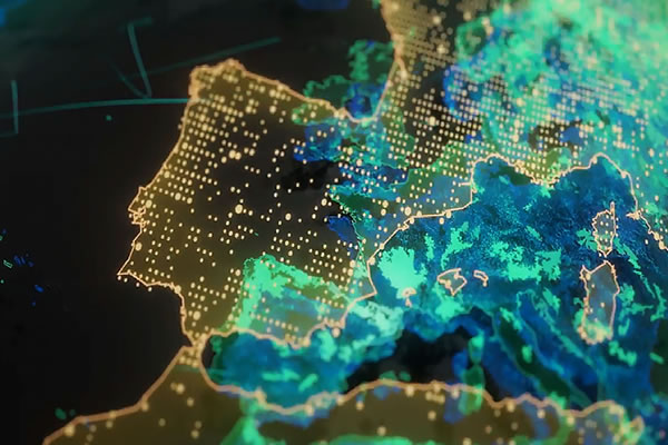
At Olaf Geo Services Ltd, we deliver precise and detailed mapping solutions that support infrastructure planning, land administration, resource management, and environmental monitoring. Using CAD, GIS, remote sensing, and modern geospatial tools, we transform raw survey data into professional maps that guide smarter decisions.
Cadastral Mapping
Topographic Mapping
Bathymetric Mapping
GIS-Based Thematic Maps
Infrastructure & Utility Mapping
Customized Digital Maps
Our maps provide clarity, precision, and actionable insights—whether you are a government agency, construction firm, oil & gas company, or private client. We ensure every mapping project is accurate, scalable, and future-ready.